 |
Pandavgad fort image © TourMyIndia.com https://goo.gl/TFakKB
|
Pandavgad is a fort located near the town of Wai in the Satara district of Maharashtra. One odd thing about this fort is that it is owned by a company named Mapro! Wonder how that came to be...
The location of Pandavgad is unique in the sense that it is somewhat detached from the other mountain ranges in the area. Due to this, the fort can be accessed through routes from multiple villages. In fact, according to a book 'Sangati Sahyadricha', there are 4-5 base villages from where paths go upto the fort.
However, when I asked the person (who stays on the fort) appointed by Mapro, he said that only two routes are currently used, the ones from Kambatwadi and Gundewadi. Of these two routes, the one from Gundewadi is the shortest one.
However, when I asked the person (who stays on the fort) appointed by Mapro, he said that only two routes are currently used, the ones from Kambatwadi and Gundewadi. Of these two routes, the one from Gundewadi is the shortest one.
Getting there:
Public Transport1. Get an MSRTC bus from Swargate to Wai/Panchgani/Mahabaleshwar and alight at the Wai bus station.
2. Get a bus/local transport (jeeps and the like) that are going to Mandhardevi and alight at your preferred village (Kambatwadi or Gundewadi).
Private Transport
If you're travelling by car/bike, take the Wai exit on the Pune-Bangalore highway. This point is also known as Surur phata.
Follow the road that goes to Wai from here till you come to a fork. The road on the right goes to Wai's MIDC area and continues from there to Mandhardevi. If you think you're lost ask any person from directions to Mandhardevi.
Gundewadi is located at a distance of around 7 kms from Wai.
Note: The route up to the fort begins from the highway itself before you even get close to the village. There some space where you can park your vehicles.
The best option once you get close to Gundewadi would be to ask a villager for the start point of the trail.
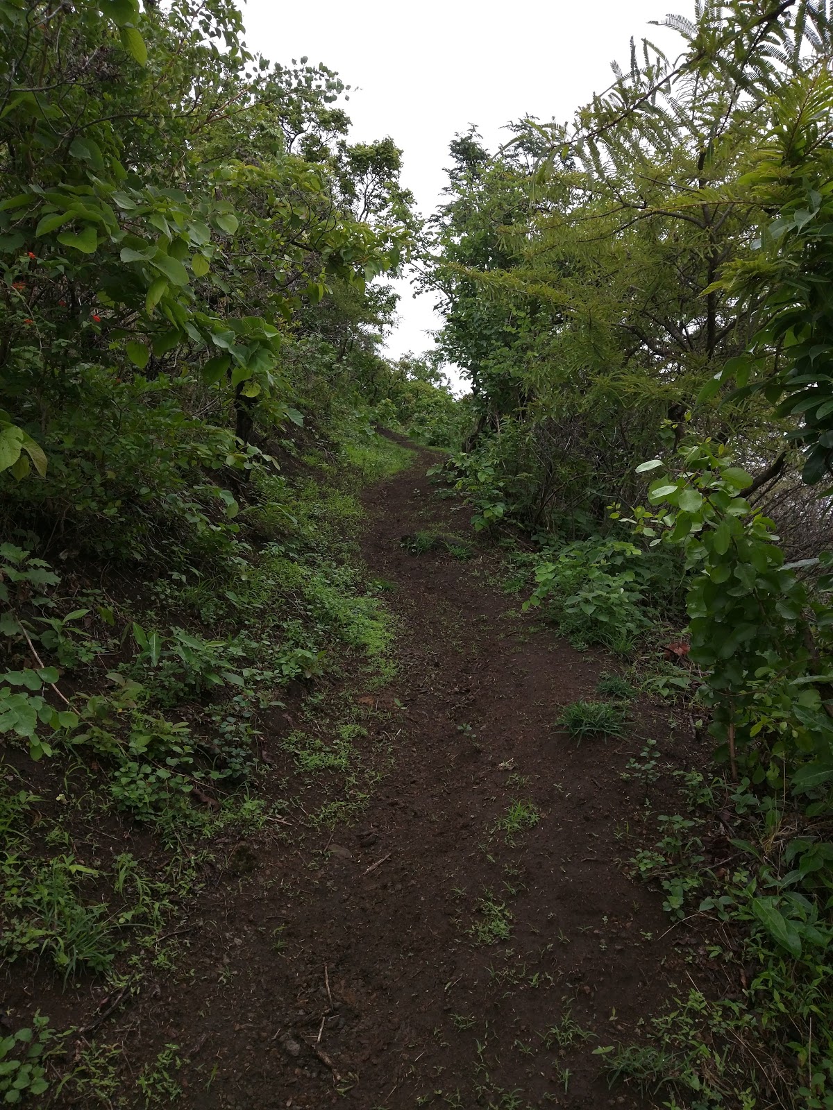
The Trail
I have tried to mark the trail to the best of my abilities and recollection on the map. Please do not consider it to be an accurate measure.
Keep following the trail until you reach a small bungalow style structure on the fort. You may have to make an entry in the visitors log available with the person who stays here on behalf of Mapro.
Standing in front of the entrance of the structure, turn left to see a small path that goes up to the citadel of the fort. Following this trail you will come across remains of the gateway of the citadel before the path makes a U turn to the citadel.
The citadel has a few remains of battlements, one large lake, a mortar grinding wheel and two temples - one of which has been reconstructed.
As we had visited this place in the monsoon, we couldn't explore the other parts due to the overgrowth.
As we had visited this place in the monsoon, we couldn't explore the other parts due to the overgrowth.
It takes around 2-2½ hours to get to the top and another 30-45 minutes to see the fort.
Some photos from the fort


1 comment:
Thanks for sharing such an informative blog.
Tiger safari India
Post a Comment